Comparing BirdsEye with other Custom Maps Images
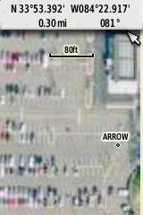
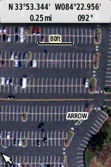
The USAPhotoMaps "Urban" images are from the 4-pixels-per-meter Microsoft MSR Maps.
Other Solutions:
There are two types of free map programs that can create higher-resolution Custom Maps .kmz files than BirdsEye.
The easiest is the free USAPhotoMaps to create a "Big" .jpg image of the Microsoft MSR 'Urban' color maps. (These maps look much better when enhanced by Photoshop Auto Color Correction.) The created .jpg file is accompanied by a .txt and .jgw file (similar to a DRG map's .tfw file) in order to register the coordinates. With this information, G-Raster (another free program) can convert the .jpg file in one operation into a .kmz file needed by Custom Maps for Garmin's latest units.
Google Earth can also be used to create even higher-resolution .kmz maps (as high as 8 pixels per meter). However, at present, is a very time-consuming (or an expensive task if using Global Mapper).
Click on ThumbnailsThe easiest is the free USAPhotoMaps to create a "Big" .jpg image of the Microsoft MSR 'Urban' color maps. (These maps look much better when enhanced by Photoshop Auto Color Correction.) The created .jpg file is accompanied by a .txt and .jgw file (similar to a DRG map's .tfw file) in order to register the coordinates. With this information, G-Raster (another free program) can convert the .jpg file in one operation into a .kmz file needed by Custom Maps for Garmin's latest units.
Google Earth can also be used to create even higher-resolution .kmz maps (as high as 8 pixels per meter). However, at present, is a very time-consuming (or an expensive task if using Global Mapper).
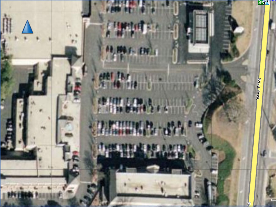
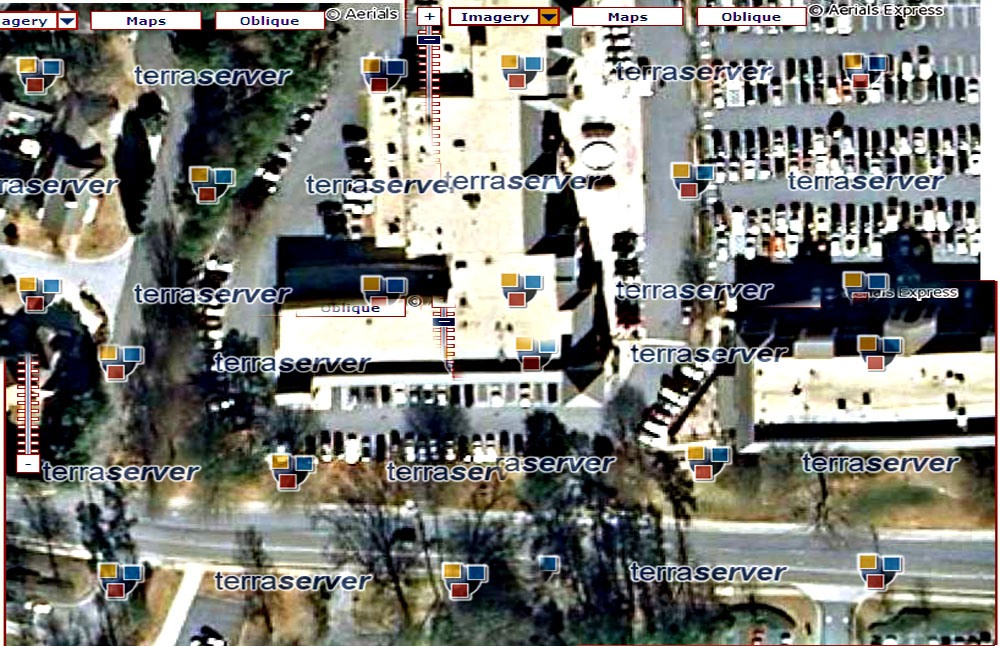
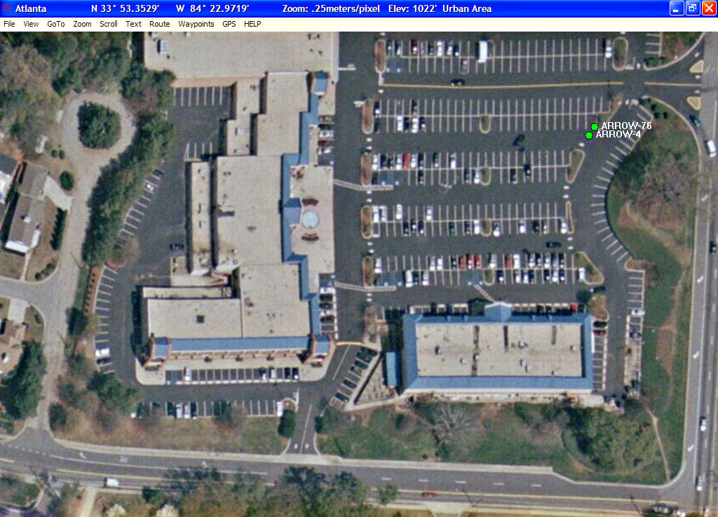
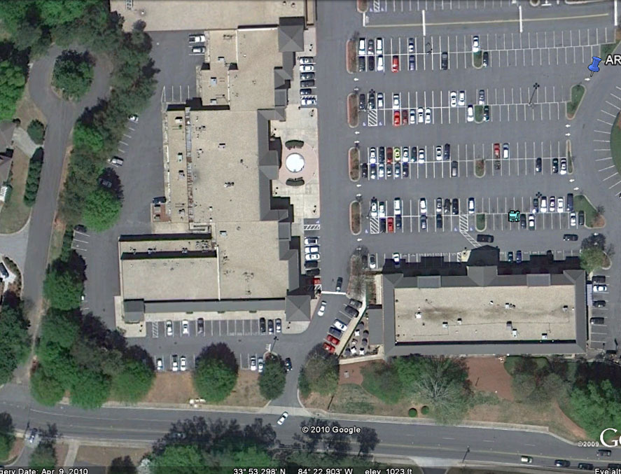
USAPhotoMaps MSR Maps (4 pixels/m) ° Google Earth (8 pixels/m)
This USAPhotoMaps MSR Map is from a 2002 database when the roofs were painted blue.
Google Earth has the best resolution but is much more difficult to create Custom Maps.