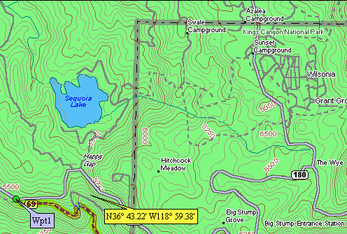
The Garmin maps are derived from the 1:100,000 USGS topo maps.
(Add Garmin Nautical Depth Contours and USGS DRG Map (28 Aug. 1999)

Garmin contour interval = 164 feet (50m)
Delorme contour interval = 50 feet

Garmin USA Topo CD With Depth Contours - Wassau Sound, Savannah,
GA
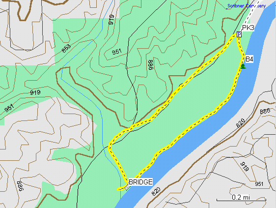
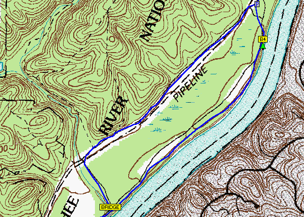
Additional Comparisons to the USGS DRG
topo Maps -Including Track and Waypoint Data
MapSource USA Topo Map, Contour Interval = 31 feet (10m)
USGS 1:24,000 Topo DRG Map, Contour Interval = 10 feet
Map, GPS track, and waypoint data as viewed with Ozi Explorer