General:
With Ver. A.00.162, support
is added for exchanging data through the USB serial port of the new Garmin
StreetPilot 2610 and 2650. In the graphic below, one must check the
"USB" box for those Garmin receivers supporting USB in the units themselves.
While G7ToWin has always supported Garmin receivers, it will also support up/downloading waypoints, routes and tracks of the Magellan M-315/320, Map 330, Tracker, ColorTrak, Map 410, SporTrak (Pro and Color), and Meridian series receivers. These are the only Magellan receivers verified to work with the program to date. The same version also supports a number of Lowrance and Eagle receivers
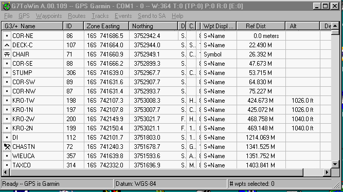
With the above version, if any waypoints are selected before the column is clicked to start the sort, the same waypoints will be selected after the column sort and the list will be scrolled to ensure that the first selected waypoint in the list is visible. This aids in analyzing the waypoint list.
Note that the file format
(*.g7t) has been created. When you have saved data in this format,
and have registered it to g7towin.exe to be the target of *.g7t files in
the "Open With, Other, Programs" dialog box, a double-click on the file
launches G7ToWin and displays the data. The program now also
reads and writes the new .gpx format (which supports waypoints,
tracks, and routes) and uncompressed .loc files.
See:
http://www.topografix.com/gpx.asp
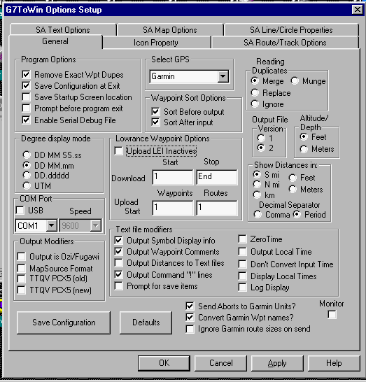
Configuration:
Above is the File, Configuration, General
screen.*
*For Magellan receivers, Select GPS (Magellan),
then select the COM Port, and Speed (We get the best results at 9600).
Set the unit's baud to 9600 and NMEA to OFF.
*For Garmin receivers, just Select GPS
(Garmin or Garmin_USB), and the Speed is selected automatically.
Set the non-USB GPS unit's protocol to the Garmin mode.
NOTE: G7ToWin Help has the unique ability after displaying the Configuration menu to press F1 (or the Help button) to get instructions on how to use boxes in any of the tabs in the Configuration menu.
Once you have saved these options, the program should work the same as with the Garmin and Lowrance units with one major exception for Magellans. Before downloading routes, you must first download the waypoints.
Display on Street Atlas
(SA 4 thru 9) :
NOTE: All of the data downloaded into
G7ToWin except POIs (see Magellan POIs in the G7ToWin help file) can be
displayed on any version of Street Atlas and be configured to one's liking.
Below are some suggested
settings to control how the data is displayed on Street Atlas.
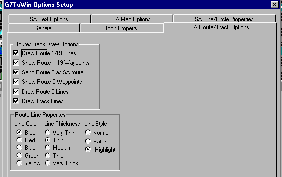
SA Route/Track Options tab
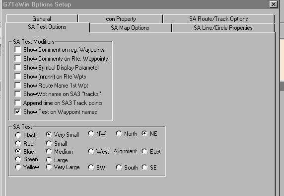
SA Text Options tab
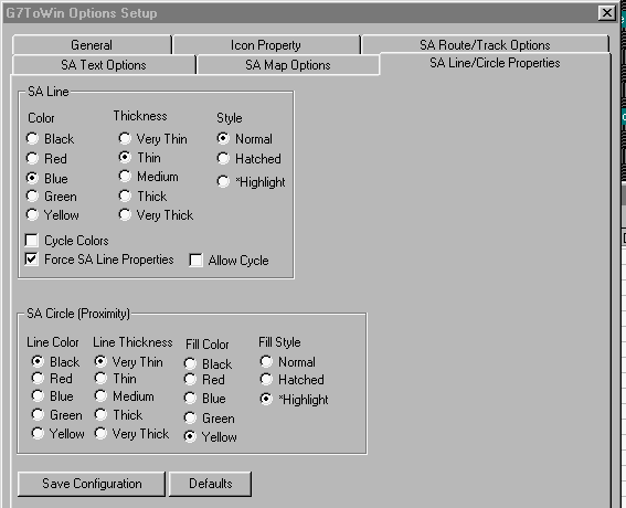
SA Line/Circle Properties tab
Commands:
Magellan: Under GPS, Commands is: Delete
All Magellan: Waypoints, Tracks, Routes, Fix, and Data.
Garmin: Under GPS, Commands is: Get Voltage,
Get Time, Get Position, Get Supported Protocol, Get and Show Display Bitmap
(downloads a screen shot), GPS Power Off. Also under GPS is: Get
GPS ID (GPS name, Software version, Coded model number, Base map Info,
and some installed map Info).
G7ToWin (and G7ToCE) will copy the position returned by the 'Get Position' command to the Windows clipboard in the current datum and display format. The fields are separated by the TAB character and may be pasted directly into other applications.