Day 6, Wednesday
Visit Columbia Gorge Discovery Center, Rowena Crest, and the Captain's Dinner
Click on the Thumbnails Below for Larger Views
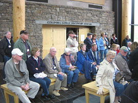
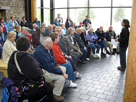
Columbia Gorge Discovery Center
Click on the Thumbnails Below for Larger Views
Columbia Gorge Discovery Center
 .....
.....
 .....
.....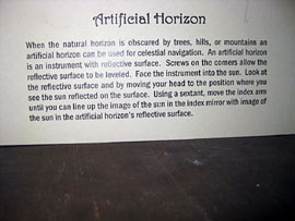
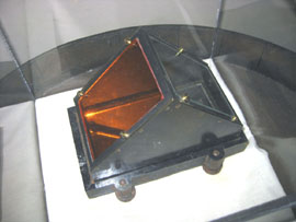
High-quality navigation
instruments used by Lewis and Clark on their expedition
 .....
..... .....
.....
Caption to the left of
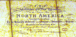
the center map ° Very early map of N. America ° Caption at the
top of the map
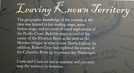
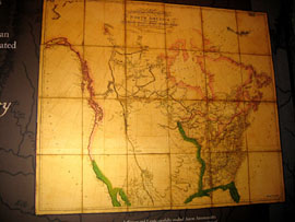
I got 'intrigued' with this map in the Columbia Gorge Discovery Center, which is of the known US and Canada at the time of the Lewis & Clark Expedition. One can make out the Columbia and Missouri Rivers as far as they had been mapped at that time. The sidebar mentions that the Mandan Indian villages was the extent of the known Missouri River, which also appears to be on the map.
I noted that there are very faint Latitude and Longitude lines on the map. By comparing these with other maps, they turned out to be at 5° intervals. Using a program, Ozi Explorer, I marked six of these Lat/Long intersections in order to "register" the map, so GPS information could be plotted on it (below).
From the Headwaters of the Missouri River, I've conjectured from other maps where they traveled to cross the Continental Divide (in blue). You can see how they missed the 'shortcut' from Great Falls to Missoula -corrected on the way home. The western part of the 'blue' route is known to be the Clearwater River which empties into the Snake at Lewiston (where we took the jet boats farther up the Snake). It's interesting that the map had a good idea as to where the Continental Divide was but Lewis and Clark were badly mistaken.
Our ship and jet-boat travel is shown in magenta. Apparently the known Columbia River is fairly accurate. The Snake River starts at the tip of the "fishhook" curve. Mt. Hood is a little off, but Mt. St. Hellens is right on!
By 1800, Harrison's Marine chronometer was in fairly wide use, so I guess it's not too surprising that map makers had a pretty good idea as how to determine Longitude. Latitude has always been easy to determine by just observing the North Star.
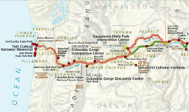
A professional nap of the western portion
of the Lewis and Clark Expedition
The return route is in green.
° Get the complete map (HERE).
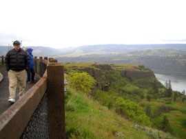
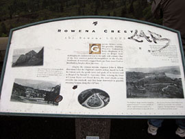
Rowena Crest
 .....
..... .....
.....
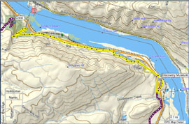
Bus trip from the Discovery
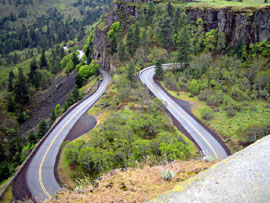
Museum to Rowena Crest via the Columbia River Scenic Highway
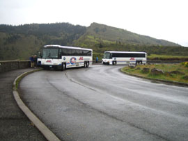
Courtsey of our two trusty
buses and drivers that followed us the whole trip
 .....
..... .....
.....
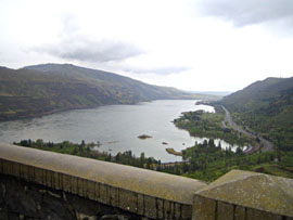
Scenic? -Yes, very!
 .....
..... .....
.....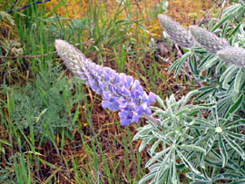
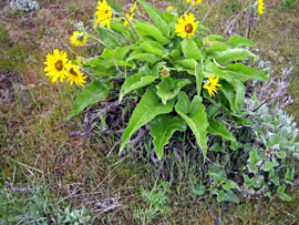
Native flowers in bloom
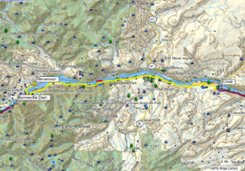
Bus trip from the Crest to Stevenson
 .....
..... .....
.....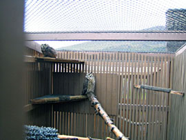
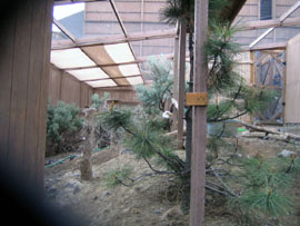
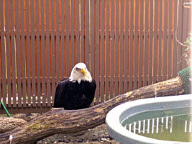
Where we visit a birds-of-prey recovery
center
 .....
..... .....
.....
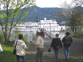
Then we board the Spriit of '98
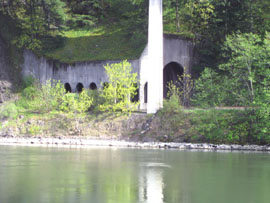
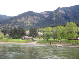
and head down the river ° RR Tunnel ° House with a million-dollar
view
 .....
..... .....
.....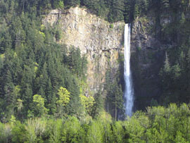
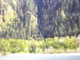
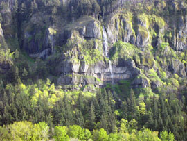
And we see more water falls than just
Multnomah
The Captain's Dinner
 .....
..... .....
.....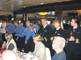
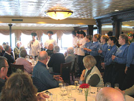
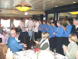
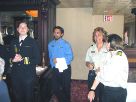
First, the complete crew is introduced
 .....
..... .....
.....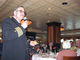
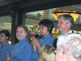
The crew and Captain Kay toast the
guests with champaign